Established on December 29, 2023, located at Room 2907, Building 1, Dahua Longyue Building, No. 587 Shunyi Road, Jinan Area, China (Shandong) Pilot Free Trade Zone. The business scope includes: satellite remote sensing data processing; Geographic remote sensing information services; Integration of satellite remote sensing application systems; Integration of satellite navigation multi-mode enhanced application service system; Data processing services; Digital technology services; Information system integration services; Software development; Software sales; Retail of computer software, hardware, and auxiliary equipment; Technical services, technology development, technology consulting, technology exchange, technology transfer and technology promotion.
JuncTry platform...... PyramidMap platform......The series products of JuncTry are committed to building a complete ecosystem of efficient GIS data processing such as multi-mode conversion, high-performance adaptation for bussiness data, distributed map services and panoramic visualized applications. Support heterogeneous data conversion and map tile for web map engines such as Mapbox, Leaflet, OpenLayers and Cesium.
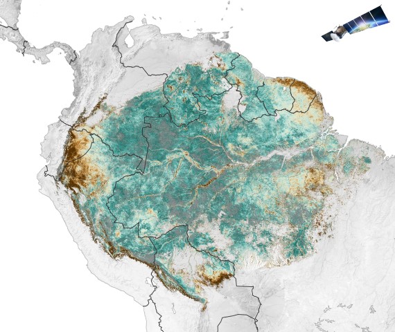
JuncTry supports but is not limited to Oracle, PostGIS, and MySQL enterprise geodatabases. The enterprise geodatabase has achieved large-scale map data storage and processing capabilities, as well as version management. The most common model currently is to combine geodatabases with GeoServer to provide map visualization services for web and mobile terminals.
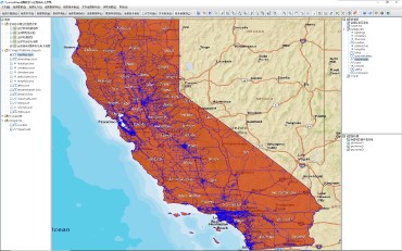
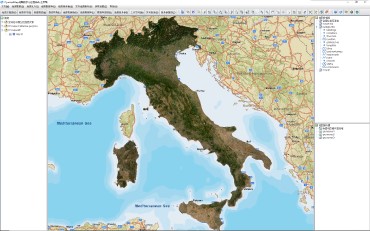
JuncTry is built basing on the OSGeo standardization specification therefore can be directly accessed with GeoServer and works as its UI client for unified resource management and visual process management. It connects heterogeneous map data resources such as Shp, GeoJSON, CSV, Excel, Geodatabases and GeoServers layers to form a map data and service center.All the processes are implemented through UI mode.
JuncTry is based on the OSGeo standardized map service specification, supporting full process services such as batch map processing, format conversion, data storage, layer services, and visualization applications. more...